Autumn Forestry Field Trips

Healthy Forests Mean Healthier Lungs for You and Me
December 1, 2020
The Long View: Restoring Healthy, Resilient Forests
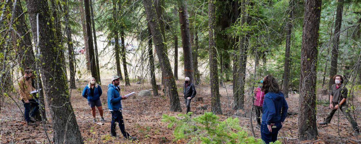
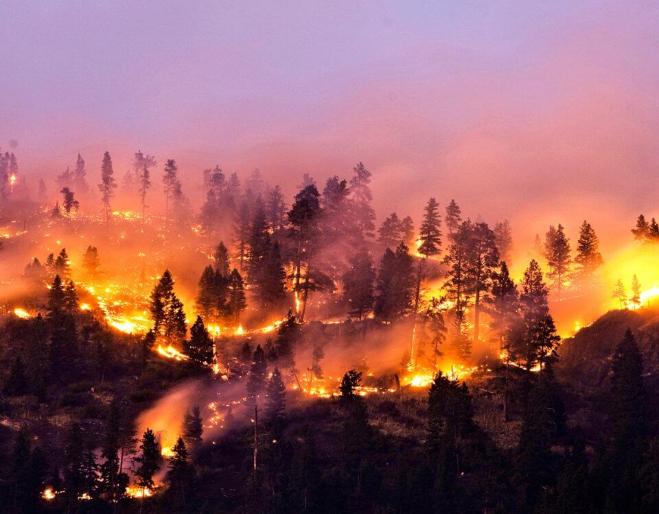
December 1, 2020In October, Public Lands Coordinator Sam Israel led two separate field trips in the Twisp River drainage to look at examples of different forest health conditions and areas marked for management as part of the Forest Service’s proposed restoration projects. We were lucky to have MVCC Board Member and excellent photographer Peter Bauer along to take some great images:
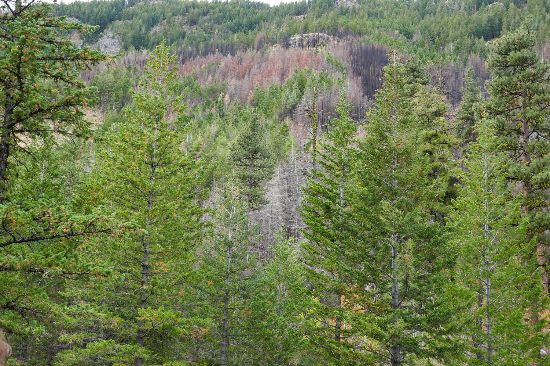
Title: Mosaic Burn. Location: Buttermilk Creek. The 2018 Crescent Fire burned through multiple drainages on the south side of Twisp River Road. This photo shows a “mosaic” pattern left by the fire, with unscathed larger trees still standing tall among burned-out stands of densely packed smaller trees.
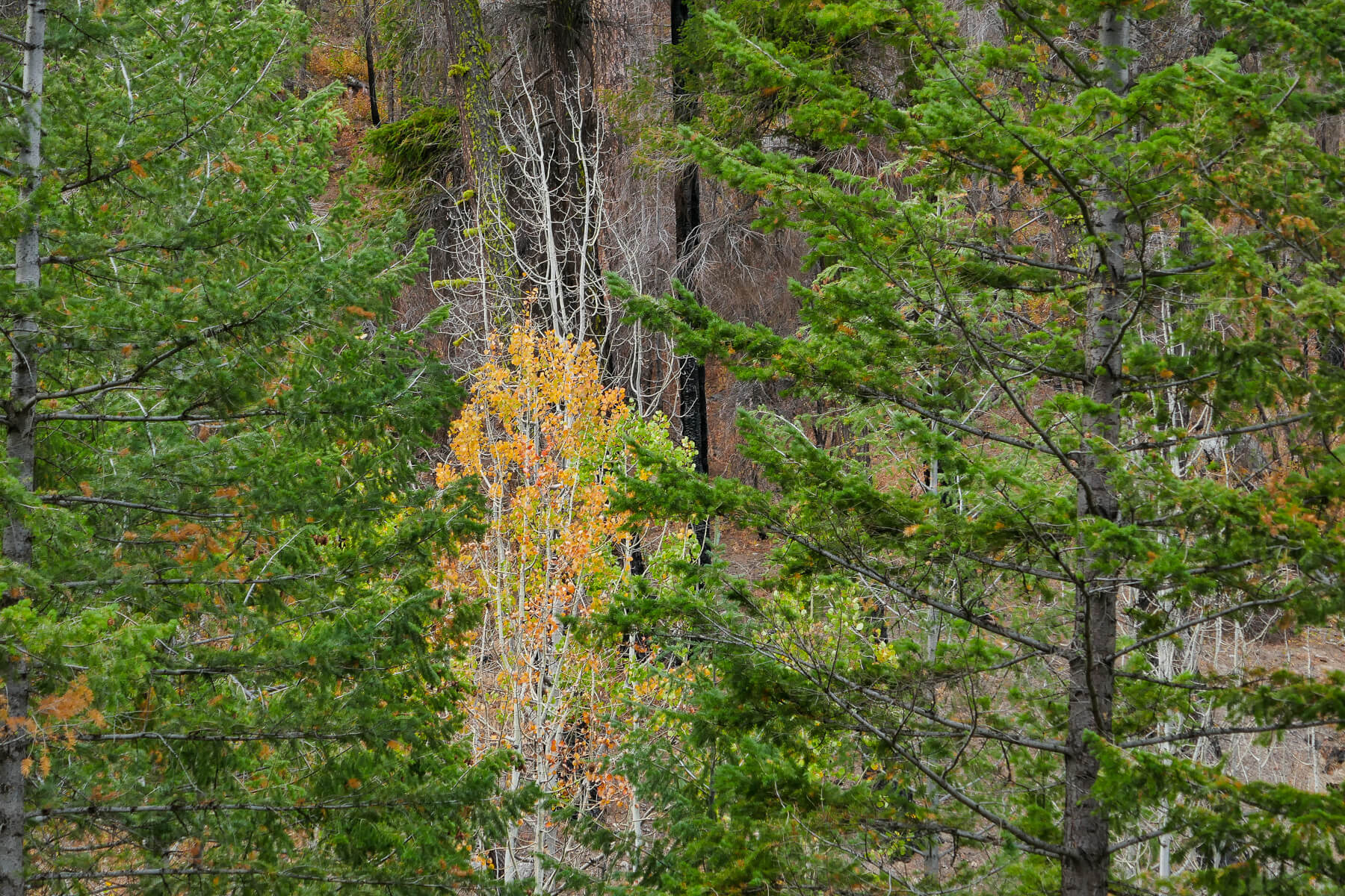
Title: Fall Aspen, Location: Buttermilk Creek: Decades of fire suppression and the thinning of larger merchantable trees can lead to the establishment of dense thickets of small conifer trees. These conifer stands can outcompete other species such as aspens, which provide critical habitat to birds and other animals.
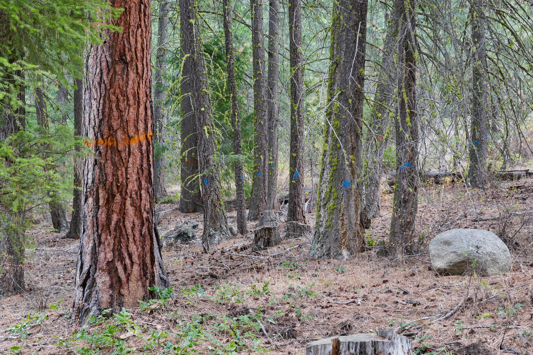
Title: Ponderosa Markings, Location: Buttermilk Creek Orange = keep, Blue = cut. In this case, smaller trees are marked for thinning to enable larger, older trees such as drought-tolerant Ponderosa pine to thrive.
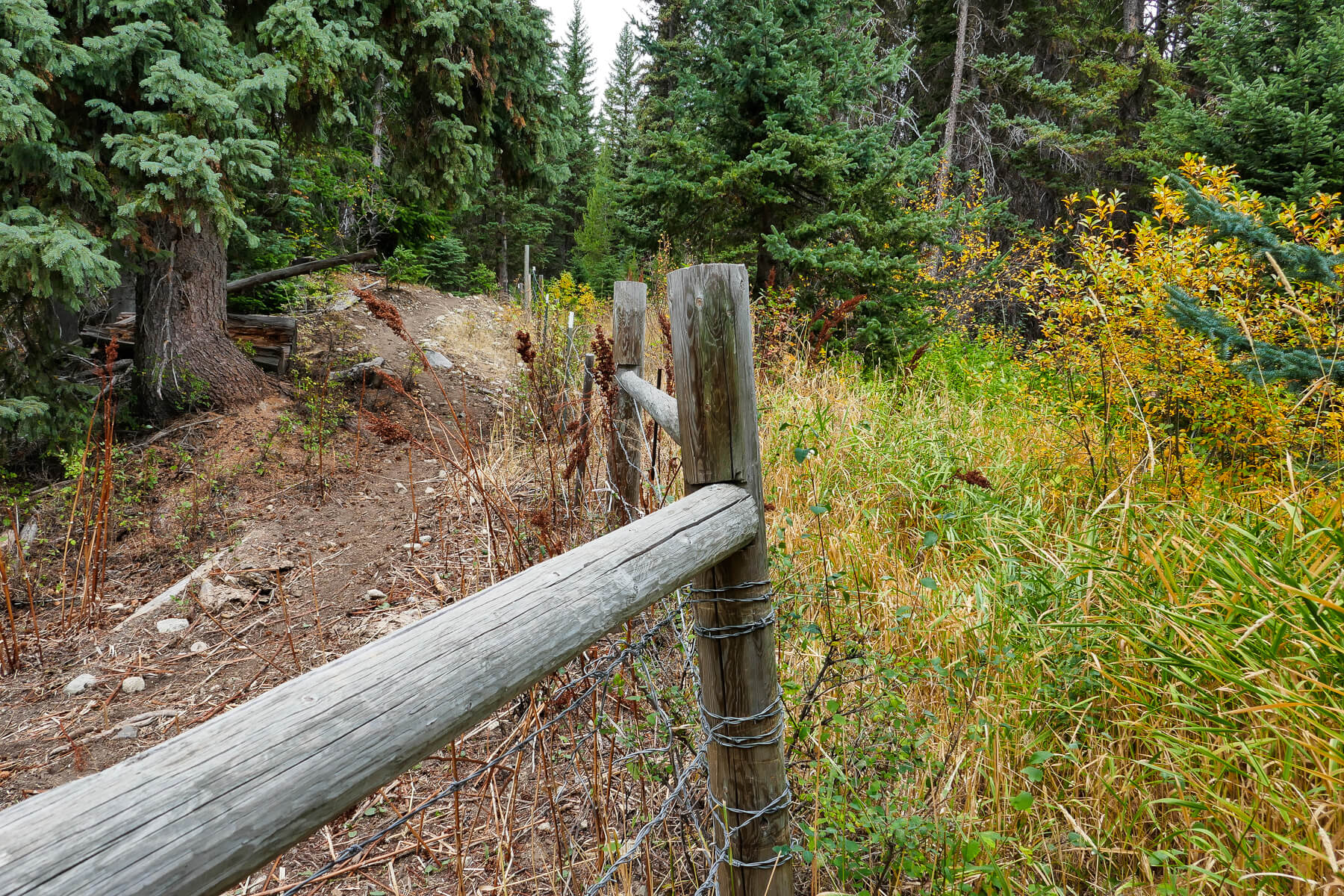
Title: Fence Line, Location: Black Pine Lake Meadow: In addition to forest treatments, we also looked at restoration projects the Forest Service carried out as part of the Mission Project. This fence was put in to keep livestock out and prevent erosion in a meadow near Black Pine Lake.

